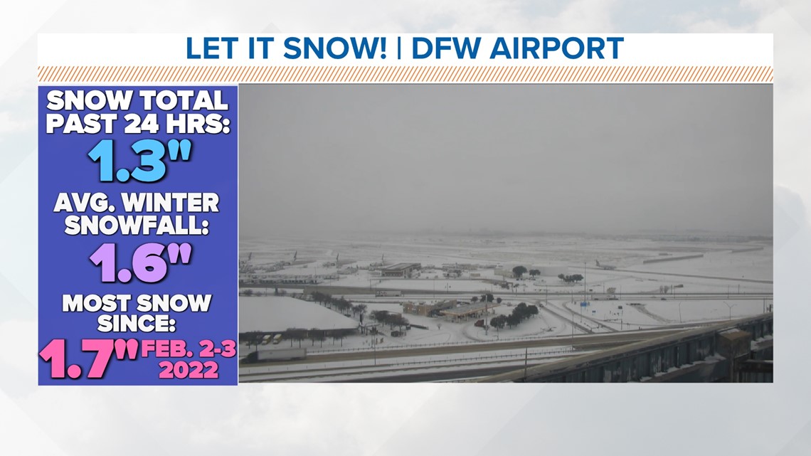
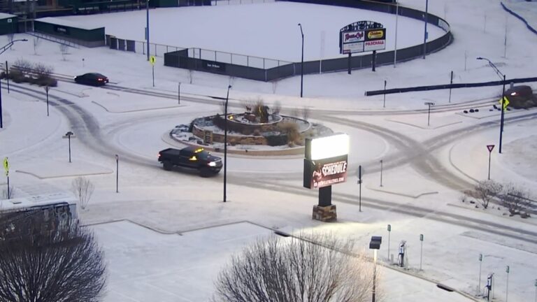
Most areas received less than an inch of snow, but some areas of DFW received more than an inch.
DALLAS — An arctic front is expected to arrive in North Texas early this week, bringing temperatures below freezing until noon Wednesday.
Get the latest forecast updates here.
DFW and other parts of North Texas woke up to snow on Monday morning. However, the snow was light and fluffy, exactly the kind we like. But fortunately, the sun's rays quickly cleared the snow from many roads.
Movement throughout the area has been greatly improved. The exception is viaducts and overpasses, where snow may remain or refreeze may create slippery spots.Serious travel issues unlikely Tuesday morning, but be aware that there may be some slippery spots or slippery areas that will not melt or dry on Monday.
Most areas received less than an inch of snow, but some areas of DFW, including the DFW Airport and south of area lakes, received more than an inch.
In these locations, lake-effect snowfall increased snowfall totals.


TxDOT reported Tuesday morning that metro highways and interstates appear to be in good condition, but isolated slippery areas may still occur, so please continue to use caution and watch your speed. Did.
Preparing roads for winter
Crews are traveling across North Texas to spread saltwater treatment for safe driving.
Salt water won't melt ice or snow, but it can help make precipitation less likely to freeze on roads.

